Class information for: |
Basic class information |
| ID | Publications | Average number of references |
Avg. shr. active ref. in WoS |
|---|---|---|---|
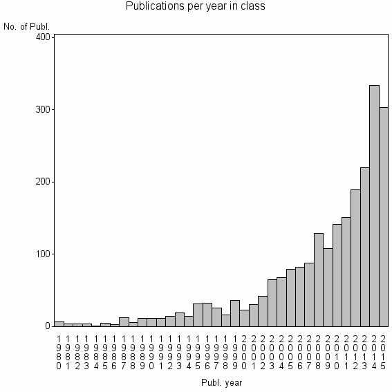
| 2043 | 2311 | 33.3 | 58% |
Classes in level above (level 2) |
| ID, lev. above |
Publications | Label for level above |
|---|---|---|
| 76 | 26792 | REMOTE SENSING//IMAGING SCIENCE & PHOTOGRAPHIC TECHNOLOGY//REMOTE SENSING OF ENVIRONMENT |
Terms with highest relevance score |
| Rank | Term | Type of term | Relevance score (tfidf) |
Class's shr. of term's tot. occurrences |
Shr. of publ. in class containing term |
Num. of publ. in class |
|---|---|---|---|---|---|---|
| 1 | HYPERSPECTRAL IMAGE CLASSIFICATION | Author keyword | 45 | 53% | 3% | 59 |
| 2 | ACTIVE LEARNING AL | Author keyword | 33 | 83% | 1% | 19 |
| 3 | HYPERSPECTRAL IMAGE HSI CLASSIFICATION | Author keyword | 26 | 100% | 0% | 11 |
| 4 | HYPERSPECTRAL IMAGE HSI | Author keyword | 20 | 62% | 1% | 21 |
| 5 | IEEE JOURNAL OF SELECTED TOPICS IN APPLIED EARTH OBSERVATIONS AND REMOTE SENSING | Journal | 18 | 11% | 7% | 155 |
| 6 | OBJECT BASED IMAGE ANALYSIS | Author keyword | 17 | 29% | 2% | 52 |
| 7 | SPECTRAL SPATIAL CLASSIFICATION | Author keyword | 16 | 60% | 1% | 18 |
| 8 | OBJECT BASED CLASSIFICATION | Author keyword | 13 | 30% | 2% | 37 |
| 9 | MULTINOMIAL LOGISTIC REGRESSION MLR | Author keyword | 13 | 69% | 0% | 11 |
| 10 | HYPERSPECTRAL IMAGES | Author keyword | 12 | 16% | 3% | 66 |
Web of Science journal categories |
Author Key Words |
Key Words Plus |
| Rank | Web of Science journal category | Relevance score (tfidf) |
Class's shr. of term's tot. occurrences |
Shr. of publ. in class containing term |
Num. of publ. in class |
|---|---|---|---|---|---|
| 1 | REMOTE SENSING IMAGES | 126 | 44% | 9% | 219 |
| 2 | LAND COVER CLASSIFICATION | 69 | 29% | 9% | 200 |
| 3 | SPECTRAL SPATIAL CLASSIFICATION | 51 | 91% | 1% | 21 |
| 4 | MORPHOLOGICAL PROFILES | 46 | 64% | 2% | 45 |
| 5 | SEMISUPERVISED CLASSIFICATION | 32 | 80% | 1% | 20 |
| 6 | MULTISOURCE | 31 | 55% | 2% | 39 |
| 7 | COMPOSITE KERNELS | 23 | 86% | 1% | 12 |
| 8 | MULTINOMIAL LOGISTIC REGRESSION | 23 | 60% | 1% | 25 |
| 9 | IMAGE CLASSIFICATION | 22 | 17% | 5% | 113 |
| 10 | SPATIAL CLASSIFICATION | 18 | 58% | 1% | 21 |
Journals |
| Rank | Web of Science journal category | Relevance score (tfidf) |
Class's shr. of term's tot. occurrences |
Shr. of publ. in class containing term |
Num. of publ. in class |
|---|---|---|---|---|---|
| 1 | IEEE JOURNAL OF SELECTED TOPICS IN APPLIED EARTH OBSERVATIONS AND REMOTE SENSING | 18 | 11% | 7% | 155 |
Reviews |
| Title | Publ. year | Cit. | Active references | % act. ref. to same field |
|---|---|---|---|---|
| Object based image analysis for remote sensing | 2010 | 745 | 108 | 52% |
| Support vector machines in remote sensing: A review | 2011 | 269 | 128 | 55% |
| A survey of image classification methods and techniques for improving classification performance | 2007 | 453 | 316 | 32% |
| A REVIEW AND ANALYSIS OF BACKPROPAGATION NEURAL NETWORKS FOR CLASSIFICATION OF REMOTELY-SENSED MULTISPECTRAL IMAGERY | 1995 | 190 | 14 | 71% |
| Parameterizing Support Vector Machines for Land Cover Classification | 2011 | 16 | 24 | 75% |
| The application of artificial neural networks to the analysis of remotely sensed data | 2008 | 94 | 238 | 29% |
| Multiple Classifier System for Remote Sensing Image Classification: A Review | 2012 | 23 | 46 | 35% |
| Advances in Geographic Object-Based Image Analysis with ontologies: A review of main contributions and limitations from a remote sensing perspective | 2013 | 23 | 51 | 18% |
| Detect Residential Buildings from Lidar and Aerial Photographs through Object-Oriented Land-Use Classification | 2012 | 11 | 21 | 43% |
| A Review of Remote Sensing Image Classification Techniques: the Role of Spatio-contextual Information | 2014 | 1 | 104 | 37% |
Address terms |
| Rank | Address term | Relevance score (tfidf) |
Class's shr. of term's tot. occurrences |
Shr. of publ. in class containing term |
Num. of publ. in class |
|---|---|---|---|---|---|
| 1 | SATELLITE M PING TECHNOL PLICAT | 10 | 50% | 0.6% | 14 |
| 2 | HYPERSPE AL COMP | 9 | 32% | 1.0% | 23 |
| 3 | STATE BUR SURVEYING M PING CHINA | 8 | 100% | 0.2% | 5 |
| 4 | CADASTRAL ENGN GEODESY | 6 | 80% | 0.2% | 4 |
| 5 | GEOMAT ANAL RISK | 6 | 40% | 0.5% | 12 |
| 6 | PHOTOGRAMMETRY IMAGE ANAL | 6 | 53% | 0.3% | 8 |
| 7 | HYPERSPE AL IMAGE ANAL GRP | 6 | 100% | 0.2% | 4 |
| 8 | GRENOBLE IMAGES SPEECH SIGNALS AUTOMAT GIPS | 5 | 60% | 0.3% | 6 |
| 9 | TECHNOL COMP COMMUN | 5 | 19% | 1.1% | 25 |
| 10 | TELECOMMUN REMOTE SENSING | 4 | 50% | 0.3% | 6 |
Related classes at same level (level 1) |
| Rank | Relatedness score | Related classes |
|---|---|---|
| 1 | 0.0000285152 | IMPERVIOUS SURFACE//CARTOG GIS GRP//IMPERVIOUS SURFACE ESTIMATION |
| 2 | 0.0000190518 | GLOBAL LAND COVER//SW GEOG SCI//RSU |
| 3 | 0.0000185036 | REMOTE SENSING SIGNAL IMAGE PROC//HYPERSPE AL COMP//SPECTRAL UNMIXING |
| 4 | 0.0000150086 | DATA MANAGEMENT AND ANALYSIS//DAYHOFF MATRIX//IMMUNOL HISTOCOMPATIB |
| 5 | 0.0000146856 | FRACTAL MEASUREMENT//OPTIMAL SPATIAL RESOLUTION//RESOLUTION TRANSFORMATION MODEL |
| 6 | 0.0000128540 | CHANGE DETECTION//LANDSAT//STARFM |
| 7 | 0.0000105223 | BUILDING EXTRACTION//BUILDING DETECTION//ROAD NETWORK EXTRACTION |
| 8 | 0.0000092913 | TEMPORAL INDICES//INTERNATIONAL CHARTER//BUILDING DAMAGE ASSESSMENT |
| 9 | 0.0000082689 | TOPOGRAPHIC CORRECTION//MINNAERT//ADJACENCY EFFECT |
| 10 | 0.0000070021 | ARTHUR BRANT EXPLORAT GEOPHYS//ASTER//LITHOLOGICAL MAPPING |