DeepAqua-II: Scaling the quantification of surface water changes to global levels with deep learning
To develop DeepAqua-II, a robust, scalable deep-learning system for global surface-water monitoring using SAR time-series data.
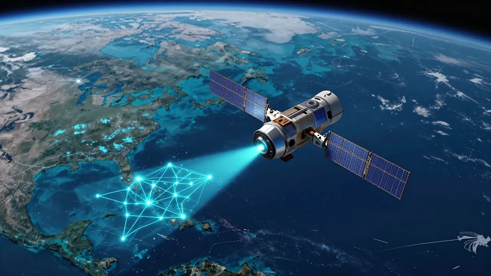
Surface water is declining worldwide, and current monitoring methods fall short. Advanced deep learning using satellite imagery offers accurate, timely, large-scale insights into water changes, crucial for better conservation and policy decisions. In earlier Digital Futures projects, we developed DeepAqua, a state-of-the-art deep learning model for detecting surface water. It uses self-supervised learning to remove the need for manually annotated data. While DeepAqua achieved strong performance, it has two main limitations.
First, it does not adapt well to changes in Synthetic Aperture Radar (SAR) sensor settings. When sensors change, the model must be retrained, which makes it difficult to scale and maintain. Second, it depends on cloud-free optical images taken on the same day as SAR images for training, which are often unavailable. Third, it cannot take advantage of the new L-band SAR sensors that penetrate deeper into vegetation. In this project we will develop DeepAqua-II to address these limitations. This new version introduces two key innovations.
First, it will include a technique to normalize pixel intensity values. This will ensure consistent results across different SAR sensor configurations. Second, it will use a self-supervised model that relies only on SAR data and learns from temporal sequences of images of the same location to infer water extent without needing optical input. Third, it will include support for L-band sensors. The aim of this project is to advance both methodologies and applications in AI-based remote sensing, with a focus on developing robust and scalable surface water detection systems. By improving model reliability and generalizability, this work will enhance global water monitoring capabilities and support data-driven conservation and climate resilience decision-making.
To develop and test DeepAqua-II, we will use SAR imagery from Sentinel-1 and the upcoming NISAR satellite missions. These datasets will allow us to evaluate performance across a range of environmental and sensor conditions. The proven success of DeepAqua demonstrates the feasibility of our approach and its strong potential for impact in both research and real-world applications. We hypothesize that modern deep learning methods can achieve more precise surface water monitoring than traditional techniques. These methods will improve scientific understanding, automated analysis, and support faster, more informed decision-making in environmental management.
Specific objectives (1–5)
1: Design a technique to normalize SAR pixel intensity values so models remain resilient to sensor adjustments.
2: Build a self-supervised semantic segmentation model using SAR time-series without needing optical data.
3: Add support for L-band SAR sensors to detect water under vegetation.
4: Quantify changes in surface-water extent across multiple climate regions for 2015–2027.
5: Communicate and disseminate results to maximize impact, including training and capacity building.
Crossdisciplinary collaboration
Hydrology & Environmental Sciences
- Led by Professor Zahra Kalantari
- Expertise in water resources management, hydrology, climate-change impacts, and sustainability.
Computer Science & Machine Learning
- Led by Associate Professor Amir H. Payberah
- Expertise in scalable machine learning, deep learning, and time-series modeling.
Nature of collaboration
-
Integrates SAR remote sensing, deep learning, and climate/land-water systems.
- Builds on joint results from DeepWetlands and DeepAqua.
- Enables a cooperative system for global-scale water monitoring.
Project period
01/01/2026 – 31/12/2027
Funding
Digital Futures
Contact persons