
Lectures 20h
Laborations 40h
Written exam
AG2413 Digital Image Processing and Applications 7.5 credits
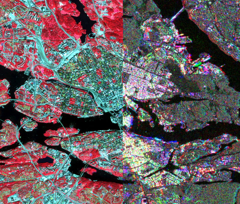
This is an advanced remote sensing course on sophisticated methods and techniques for collecting, processing and analyzing remotely sensed data; as well as applications of remote sensing in urban planning, environmental monitoring and natural resource management. Throughout the course, emphasis will be placed on image processing, image analysis, image classification, remote sensing and GIS data integration, and applications of remote sensing in various applications.
Information per course offering
Choose semester and course offering to see current information and more about the course, such as course syllabus, study period, and application information.
Course syllabus as PDF
Please note: all information from the Course syllabus is available on this page in an accessible format.
Course syllabus AG2413 (Spring 2022–)Headings with content from the Course syllabus AG2413 (Spring 2022–) are denoted with an asterisk ( )
Content and learning outcomes
Course disposition
Course contents
- Remote Sensing & In Situ Data and Image Processing Systems
- Image Processing
- Image Analysis
- Image Classification
- Digital Change Detection
- Remote Sensing Applications
The course is composed of lectures, laboratory exercises, readings and student presentations.
Intended learning outcomes
Students will gain theoretical knowledge and practical skills on digital image processing, analysis, and applying these techniques in various remote sensing applications
Literature and preparations
Specific prerequisites
A completed Bachelor of Science in Engineering or 180 credits academic studies in the field of Technical Science, Environmental Science, or planning and documented proficiency in English corresponding to English B.
Furthermore AG1321 Remote Sensing Technology or AG1324 Phtogrammetry and Remote Sensing or equivalent
Literature
You can find information about course literature either in the course memo for the course offering or in the course room in Canvas.
Examination and completion
Grading scale
A, B, C, D, E, FX, F
Examination
- PRO1 - Project, 1.5 credits, grading scale: P, F
- TEN2 - Written examination, 3.0 credits, grading scale: A, B, C, D, E, FX, F
- LAB2 - Laboratory Work, 3.0 credits, grading scale: P, F
Based on recommendation from KTH’s coordinator for disabilities, the examiner will decide how to adapt an examination for students with documented disability.
The examiner may apply another examination format when re-examining individual students.
If the course is discontinued, students may request to be examined during the following two academic years.
Other requirements for final grade
Written exam (TEN1; 3 cr)
Approved laboratory reports (LAB1; 3 cr)
Project (PRO1; 1,5 cr)
Examiner
Ethical approach
- All members of a group are responsible for the group's work.
- In any assessment, every student shall honestly disclose any help received and sources used.
- In an oral assessment, every student shall be able to present and answer questions about the entire assignment and solution.
Further information
Course room in Canvas
Registered students find further information about the implementation of the course in the course room in Canvas. A link to the course room can be found under the tab Studies in the Personal menu at the start of the course.
Offered by
Main field of study
The Built Environment
Education cycle
Second cycle