
The course is composed of lectures, laboratories, readings and student presentations.
AG1321 Remote Sensing Technology 7.5 credits
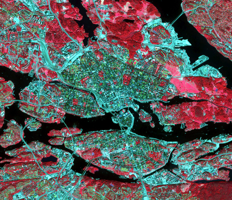
This course intends to give students an overview of remote sensing concepts, the ways in which remote sensing systems are used to acquire data, how these data may be analyzed digitally and how the information is used in studies of the natural and human environments.
At the end of the course, students should have a good knowledge of the different types of remote sensing imagery that are available and the digital processing and analysis procedures that are used for environmental applications. Students should also be capable of undertaking basic computer-assisted image analysis.
The course is composed of lectures, laboratories, readings and student presentations.
Information per course offering
Choose semester and course offering to see current information and more about the course, such as course syllabus, study period, and application information.
Course syllabus as PDF
Please note: all information from the Course syllabus is available on this page in an accessible format.
Course syllabus AG1321 (Autumn 2007–)Headings with content from the Course syllabus AG1321 (Autumn 2007–) are denoted with an asterisk ( )
Content and learning outcomes
Course disposition
Course contents
- Introduction to Remote Sensing & Electromagnetic Radiation
- Photographic Sensors & Image Interpretation
- Remote Sensing: Digital Data
- Earth Observation Satellites
- Thermal Remote Sensing
- Radar Remote Sensing
- Digital Image Enhancement
- Digital Image Classification
- Remote Sensing Applications: Selected Examples
The course is composed of lectures, laboratory exercises, readings and student presentations.
Intended learning outcomes
At the end of the course, students should have a good knowledge on how to acquire different types of remote sensing imagery and the basic algorithms to process and analyze remotely sensed images. Students should also be capable of undertaking basic digital image analysis.
Literature and preparations
Specific prerequisites
AG1311 Graphic Information System or equivalent
Literature
Lillesand, T. M. and R. W. Kiffer. 2004. Remote Sensing and Image Interpretation, 5th edition, John Wiley and Sons, Inc., New York.
Examination and completion
Grading scale
A, B, C, D, E, FX, F
Examination
- TEN1 - Examination, 4.5 credits, grading scale: A, B, C, D, E, FX, F
- LAB1 - Laboratory Task, 3.0 credits, grading scale: P, F
Based on recommendation from KTH’s coordinator for disabilities, the examiner will decide how to adapt an examination for students with documented disability.
The examiner may apply another examination format when re-examining individual students.
If the course is discontinued, students may request to be examined during the following two academic years.
Other requirements for final grade
Written exam (TEN1; 4.5cr)
Approved laboratory reports (LAB1; 3cr)
Examiner
Ethical approach
- All members of a group are responsible for the group's work.
- In any assessment, every student shall honestly disclose any help received and sources used.
- In an oral assessment, every student shall be able to present and answer questions about the entire assignment and solution.
Further information
Course room in Canvas
Registered students find further information about the implementation of the course in the course room in Canvas. A link to the course room can be found under the tab Studies in the Personal menu at the start of the course.
Offered by
Main field of study
The Built Environment, Technology
Education cycle
First cycle