
Stockholm Heat
part of Senseable Stockholm Lab
Project leader: Ulla Mörtberg, SEED, KTH
Participants: Fabio Duarte, MIT; Simone Mora, MIT; Sanjana Paul, MIT; Elina Merdymshaeva, KTH

Collaboration: Senseable Stockholm Lab is a collaboration between KTH Royal Institute of Technology, MIT Massachusetts Institute of Technology, and the City of Stockholm with support from the Stockholm Chamber of Commerce and Newsec. The Stockholm Heat project also collaborates with BZZT who hosts the City Scanners. City of Stockholm reference group: contact Lukas Ljungqvist .
Project period: 2021-2025
Funding: Senseable Stockholm Lab , ICLEI Action Fund supported by Google.org through DigiCityClimate
Project description
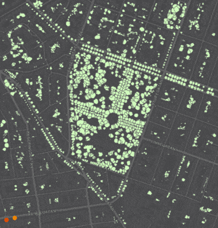
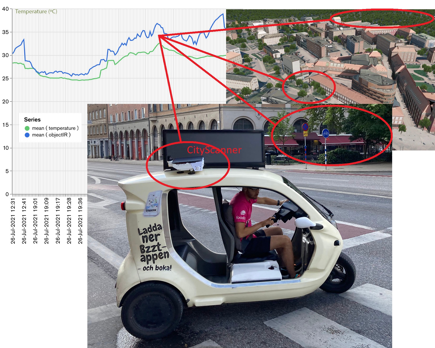
Heat events are associated with higher rates of cardiovascular disease, strokes, and death. Urban forests, parks and trees can alleviate the negative effects of heat events on public health. However, models tend to make many assumptions to cover large areas, or on case studies, which have severe spatial and temporal restrictions. We combine the deployment of low-cost sensors on vehicles - the City Scanner - with existing data on forest and other tree-cover habitats to measure ambient and ground temperature, and computer vision models to quantify greenery at the street level, in order to assess the hyperlocal benefits of urban greenery at a fine temporal and spatial granularity.
This is compared to the influence of the urban canyon and natural topography on microclimate as well as to the influence of tree-cover habitat patterns at the neighborhood and landscape scales. This knowledge will be important to counter the health impacts of heat events on several spatial scales relevant for urban planning.
Publications
| Scientific papers |
|---|
|
Merdymshaeva, E., Mora, S., Machida, Y., Zhang, F., Duarte, F., Paul, S., Ratti, C., Mörtberg, U., 2025. Assessing the impact of greenery on urban heat using opportunistic drive-by sensing. Environment and Planning B: Urban Analytics and City Science: online ( doi.org/10.1177/23998083241311068 ). |
Activities
| Urban trees are important: interview KTH web 2025-06-16 ( The importance of urban trees ) |