Welcome to Geoinformatics

The Division of Geoinformatics at the Department for Urban Planning and Environment is responsible for both research and education within the broad field of geographical information technology (GeoIT). Geoinformatics or GeoIT is the science and technology for collection, management, visualization, analysis, mining and presentation of geospatial data.
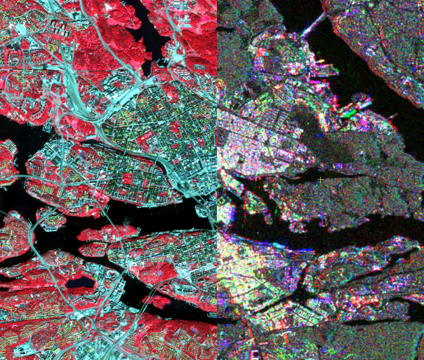
The research at the Division of Geoinformatics is focused on Earth observation and geospatial big data analytics and their applications in sustainable and resilient urban planning, mobility pattern mining, environmental change monitoring and disaster management.
The Division of Geoinformatics is responsible for the GeoIT Profile in the Built Environment Program and for the International Masters of Science Program in Geodesy and Geoinformatics. The Division also offers GeoIT courses to other disciplines such as Urban Planning and Design, Spatial Planning and Real Estate Economics.
