
Annie
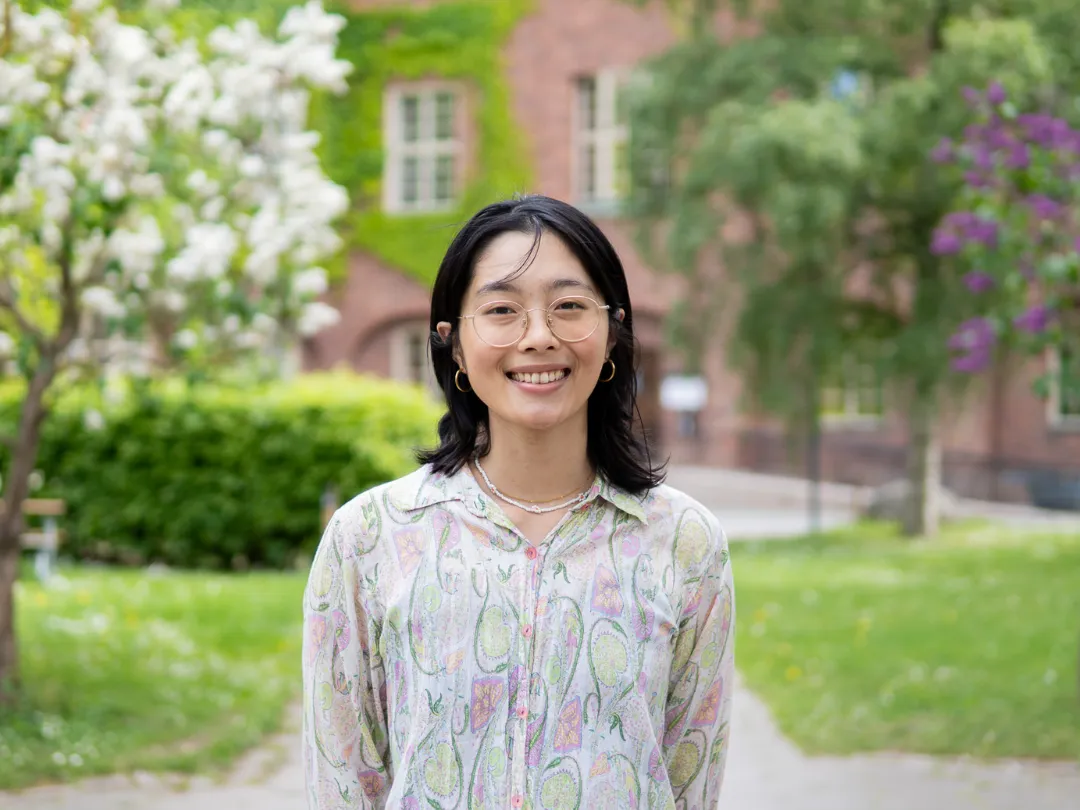
Yi-An (Annie) is from Taiwan and holds a bachelor’s degree in Urban Planning. She participated in exchange programmes in Singapore and Germany, where she explored various environments to find the one that suited her best. Ultimately, she chose to pursue her master’s degree in Transport and Geoinformation Technology at KTH in Sweden, as she believes it offers a strong combination of innovation and research resources. In addition to her studies, she is passionate about bouldering; she even lives above a bouldering gym.
Why did you choose this master’s programme at KTH?
I studied Urban Planning in the past and discovered that I have a greater appreciation for quantitative studies than for qualitative ones. I prefer seeking definitive answers instead of developing solutions that try to accommodate every stakeholder. This programme is highly engineering-based and trains students in various objective and scientific methods. In addition to GIS and spatial analysis, I'm excited to learn practical knowledge that ranges from remote sensing and satellite applications to database management.
What are the best aspects of your programme?
I really enjoy the hands-on lab sessions in this programme. We don’t just attend lectures and sit passively in the classroom; we also work on practical assignments that allow us to apply what we've learned. These lab sessions help me understand how to implement knowledge in real-life situations, making the learning process more meaningful.
Have you chosen a specialisation track within the programme? Which track and why?
I have chosen the Geoinformation Technology track because I took several related courses during my Urban Planning studies and always enjoyed using these tools for quantitative analysis. This track will allow me to deepen my understanding of the field, which I find fascinating.
What are some of your favourite courses so far?
One of my favourite courses is GIS Architecture and Algorithms, where we learn to build our own Geographic Information System (GIS) using Java. Although it was quite overwhelming at times, it is very satisfying to go through the process and produce a final product. In general, most courses include final projects, which offer a great opportunity to build a portfolio and showcase your skills when applying for jobs in the future.
How do studies at KTH differ from your previous studies?
I have participated in exchange studies in two other countries, and I have found KTH's syllabus to be the most structured and consistent. Typically, the schedule includes lectures in the mornings, lab sessions in the afternoons, and dedicated time for preparing final projects and exams. Everything is well-organised, balanced, and appropriately paced.