KTH builds sensor network for earthquake early-warning system
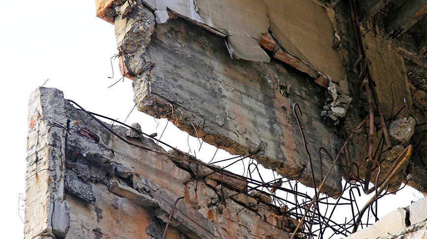
Future predictability of severe earthquakes – the goal of the KTH-led European research project ArtEmis.
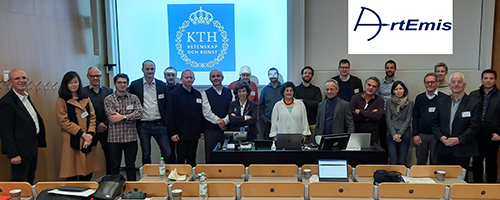
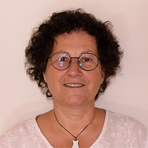
“By combining several measurement parameters simultaneously, we hope that research into earthquakes can take a great leap forward,” says Project Leader Ayse Ataç Nyberg, Professor of Physics at KTH.
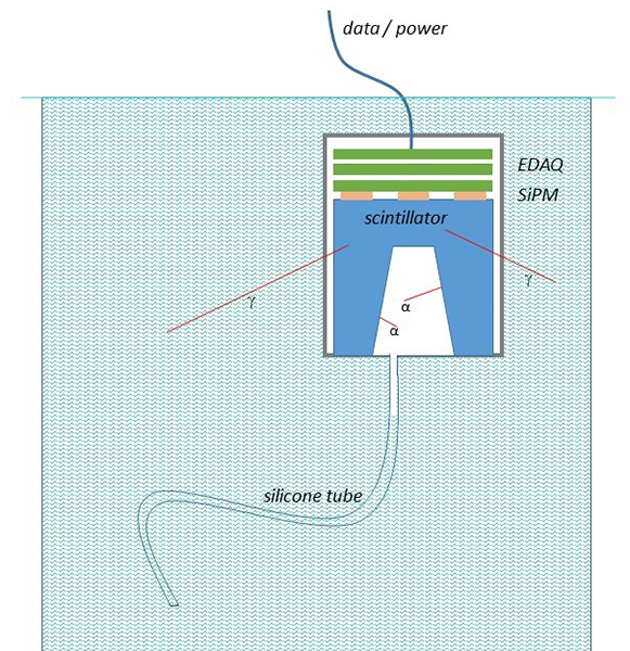
The aim of ArtEmis, which has been awarded an Euratom (länk) grant of EUR 2 million up to 2027, is to lay the foundation for a reliable early-warning system for earthquakes – a network of sensors that measure radon content and other parameters in selected water sources in Europe.
“We want to place more than 100 detectors that monitor radioactivity, water pressure, acidity and movements in the bedrock along fault lines in countries that are prone to earthquakes,” says Ataç Nyberg.
Since the 1960s, earthquakes have been predicted by measuring the radon gas that leaks from microcracks in the bedrock due to movements in the earth’s crust.
“But is has become increasingly clear that the radon level measured in the air or soil can be influenced by temperature fluctuations and air humidity, so instead we’re measuring the values in the groundwater,” says Ataç Nyberg.
Data is analysed through AI
In the groundwater, the measured radon values are more stable and reliable over time, and they can also be combined with, say, measurements of water pressure – observables that can individually signal an increased risk of earthquake.
“The huge amount of collected data is processed and analysed using AI solutions. This collaborative project between 14 institutions in Europe includes seismologists, geologists, physicists and AI researchers,” says Ataç Nyberg.
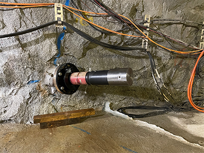
Initially, measurements are being taken in fault lines in Greece, Italy and Switzerland. Via universities in the various countries, the research group has access to groundwater sources where detectors can be placed.
“We’re also working with local authorities in the areas, so we have access to groundwater sources in caves, tunnels and wells.”
Ataç Nyberg points out that the research group intends to continue collecting data also beyond 2027.
“We’re hoping for further funding so we can place detectors also in other disaster-struck countries, such as Turkey.”
Ayse Ataç Nyberg grew up in Ankara, Turkey, where three large earth plates intersect and cause a lot of movement in the bedrock.
After losing several friends in Turkey’s catastrophic earthquake of 1999, she has been involved in research that could prevent this kind of tragedy in future.
“Everyone in this research group is genuinely committed. We won’t solve the whole problem of earthquake forecasting, but we can develop tools that help us understand how the processes work. In future, we hope to be able to interpret all the signals correctly, and predict catastrophic earthquakes.”
Text: Katarina Ahlfort
Photo: Mostphotos
